The history of the Sandhills region: 5 landmarks to explore
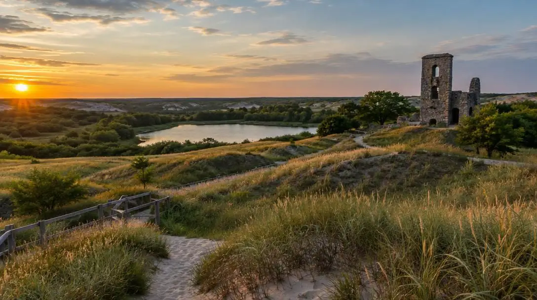
The Sandhills region of the central United States unfolds as a vast, windswept terrain defined by undulating grass-stabilized sand dunes and sweeping prairie vistas. While the heart of this striking ecosystem is rooted in central and western Nebraska, its physical borders ripple outwards into neighboring tracts of South Dakota, Wyoming, and Colorado. Beneath its serene skyline lies an intricate chronicle spanning thousands of years, during which ancient indigenous cultures navigated its expanses to harvest resources and follow native game herds across the open plains.
As the centuries progressed, the Sandhills evolved from traditional seasonal hunting grounds into crucial travel corridors for westward-bound emigrants, military outposts during national conflicts, and, eventually, quiet rural communities linked by scenic highways. Today, the territory presents an unexpected blend of geological wonders, paleontological treasures, and whimsical roadside creations. By examining its most famous landmarks, visitors can trace how natural elements and human ingenuity have shaped this vast interior corridor of North America.
Key takeaways
- The Sandhills span primarily across Nebraska with borders reaching into South Dakota, Wyoming, and Colorado, showcasing thousands of years of human and natural history.
- Iconic landmarks range from modern artistic roadside installations like Carhenge to ancient formations like Chimney Rock and Toadstool Geologic Park.
- Prehistoric fossil reserves and petroglyph walls highlight an ecological timeline that includes ancient rhinos and early human habitations.
- Navigating the region requires careful logistical preparation, including route planning, reliable navigation tools, and sturdy footwear for rugged terrains.
Landmarks of the Sandhills at a glance
Before mapping out an expedition through the region, reviewing the primary attributes and geographical distribution of the Sandhills' major landmarks helps establish a balanced itinerary. Each site preserves a distinctive facet of the area's multifaceted heritage.
| Landmark | Location | Primary Significance | Notable Feature |
|---|---|---|---|
| Carhenge | Alliance, Nebraska | Artistic roadside memorial | 38 vintage cars replicating Stonehenge |
| North Platte River Trails | Nebraska panhandle | Historic transit corridor and wildlife refuge | Clay Canyon Petroglyphs and Fort Sedgwick |
| Chimney Rock National Historic Site | Western Nebraska | Westward migration beacon | Nearly 300-foot natural spire and observation deck |
| Toadstool Geologic Park | Near Harrison, Nebraska | Badlands geology and erosion study | Carved hoodoos and sandstone arches |
| Agate Fossil Beds National Monument | South Dakota border region | 18-million-year-old mammal fossil beds | Transverse agates and prehistoric rhinos |
Five landmarks that define the Sandhills
Traveling across western Nebraska and its adjacent state borders reveals how the Sandhills balance the curious, the historic, and the primordial. These five primary destinations showcase the diverse highlights awaiting discovery across the region.
Carhenge
- Location: Alliance, Nebraska
- Year Established: 1987
- Core Materials: 38 vintage automobiles
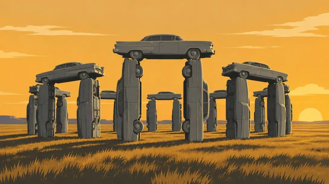
Rising abruptly out of the flat prairie outside Alliance, Nebraska, Carhenge stands as an audacious display of twentieth-century American folk art. Constructed during the summer of 1987 by a local family as a creative memorial to the builder's father, the installation precisely mirrors the proportions and layout of England's famed ancient megalithic circle, Stonehenge. Instead of prehistoric stones, however, the monument uses thirty-eight classic vehicles carefully placed in vertical pits, tilted angles, and lintel positions.
To recreate the uniform, weather-worn visage of ancient pillars, all of the cars—including standout models like a 1962 Cadillac and a 1974 Chevy Malibu—were welded firmly together and coated in a monochromatic coat of stone-gray paint. Beyond the central monument, the site has grown into an expansive sculpture reserve featuring additional automotive folk art. Notable pieces include the whimsical Ford "Carnastoga" wagon, which honors pioneer transit through automotive parts, alongside a colossal dinosaur sculpture crafted entirely from discarded car components.
North Platte River Trails
- Trail Distance: 80-mile scenic corridor
- Key Historic Outpost: Fort Sedgwick
- Cultural Feature: Clay Canyon Petroglyphs
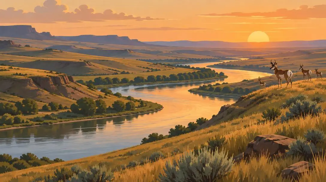
Stretching along an eighty-mile stretch of river basin through Nebraska's panhandle, the North Platte River Trails follow the natural lifeline that once guided migrating herds and westward travelers. The surrounding valley sustains diverse wildlife communities, providing open territory where pronghorn antelope graze along distant ridgelines and mule deer rest within dense riparian brush along the river's bends.
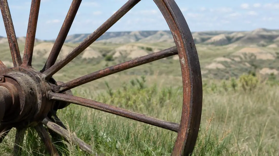
Woven throughout this river route are critical archaeological and military relics. Explorers can trace the grounds of Fort Sedgwick, an active garrison established during the American Civil War to defend transit routes and secure military communications in the frontier West. Further downriver, the Clay Canyon Petroglyphs feature ancient symbols etched into exposed sandstone walls, serving as quiet, enduring proof of early Native American cultures that lived along and traveled these waterways centuries ago.
Chimney Rock National Historic Site
- Formation Height: Nearly 300 feet
- Associated Cultures: Lakota Sioux and American pioneers
- Visitor Feature: Panoramic observation deck
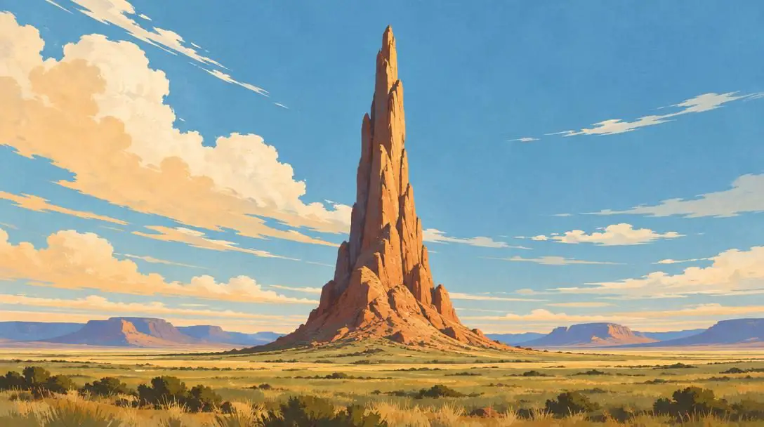
Towering nearly three hundred feet above the surrounding valley floor, Chimney Rock served as an unmistakable natural landmark long before surveyed roads crossed the Great Plains. For indigenous nations, including the Lakota Sioux, this distinctive geological spire was an integral part of the regional territory. Decades later, it became the most frequently cited visual beacon in pioneer diaries as thousands of emigrants ventured along cross-country wagon routes.
The prominent spire signaled that travelers had successfully crossed the flatter prairie plains and were now entering the challenging, rugged foothills leading toward the Rocky Mountains. Today, visitors to the historic site can view the landmark from various interpretive paths or step up to an observation deck located at the top of the formation, which affords a complete three-hundred-and-sixty-degree view across the rolling prairie horizons.
Carved by wind and water across thousands of years, the landmarks of the Sandhills guided indigenous hunters and westbound pioneers long before they captured the imagination of modern travelers.
Toadstool Geologic Park
- Designation: National Natural Landmark
- Location: Near Harrison, Nebraska
- Primary Features: Sandstone hoodoos and sculpted arches
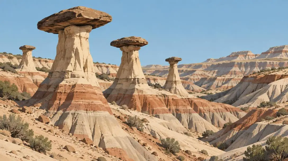
Tucked into the northwest corner of Nebraska near Harrison, Toadstool Geologic Park immerses visitors in a bizarre, almost extraterrestrial badlands environment. Recognized as a National Natural Landmark, this park protects geological formations that reveal millions of years of dynamic environmental transformation. Long-term weathering from persistent winds and seasonal water runoff has stripped away softer underlying soils, leaving behind a stark landscape of weathered gullies and sculpted formations.
The park earns its memorable name from its prominent hoodoos—slender stone pillars topped with broader, heavier capstones that resemble mushroom caps balanced atop delicate stems. Interspersed among these pillars are natural sandstone arches carved directly out of the sediment layers. Walking along the park's rugged routes provides a direct look into the processes of erosion that continuously shape the soft bedrock layers underlying the Sandhills region.
Agate Fossil Beds National Monument
- Fossil Age: Approximately 18 million years
- Border Proximity: Located just over the South Dakota border
- Special Minerals: Transverse agates with rainbow hues
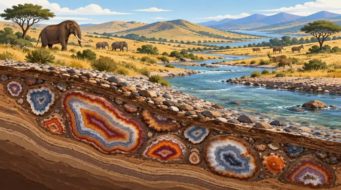
Positioned just over the border in South Dakota, Agate Fossil Beds National Monument is world-renowned for its two primary fossil deposits, which date back eighteen million years to the Miocene epoch. During this prehistoric era, the regional climate resembled an open savanna inhabited by herds of ancient mammals, including diverse populations of early rhinos that grazed the open flats and congregated around drying waterholes.
The park's visitor center houses interactive exhibits that explain the history of scientific bone-hunting expeditions in the area and explore the delicate extraction processes used by modern paleontologists. Alongside towering skeletal reconstructions, the monument highlights transverse agates. These fossilized specimens formed within ancient riverbed sediments and are celebrated for their vivid, natural rainbow hues, creating a unique intersection where paleontology meets the study of mineralogy.
How geography and natural forces shaped the region
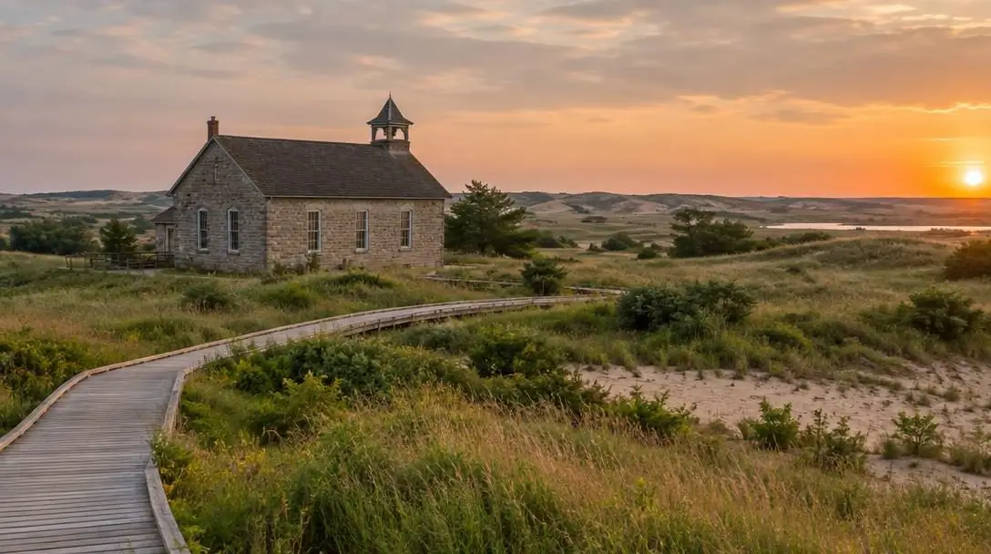
The unique character of the Sandhills lies in the relationship between soft geological foundations and the continuous forces of wind, water, and human travel. The region itself sits atop a deep foundation of relatively young geological sediments, made up predominantly of soft clays, fine-grained sandstones, and accumulated volcanic ash layers. Because these sedimentary deposits lack the dense crystalline structure of granite mountain ranges, they remain extraordinarily vulnerable to the mechanical action of seasonal rains, freeze-thaw cycles, and relentless prairie winds.
It is precisely this softness that allowed the elements to carve the sheer pinnacles of Chimney Rock and the delicate, balancing hoodoos found at Toadstool Geologic Park. As these sediment layers gradually washed away over millions of years, they exposed fossilized horizons holding prehistoric creatures like ancient rhinos, as well as the polished, colorful transverse agates embedded inside long-vanished waterways.
These same physical forces dictated the pathways taken by human travelers. The grass-covered sand dunes presented rough, water-scarce terrain, which naturally channeled human movement along reliable water corridors like the North Platte River basin. Here, indigenous groups found vital sources of game and water, while later travelers established military points like Fort Sedgwick to regulate passage through the plains. The landscape continues to inspire modern visitors, bridging millions of years of natural transformation with diverse human history.
How to plan your Sandhills road trip
Touring the remote expanses of the Sandhills requires deliberate travel planning. Because driving distances between destinations can span several hours through rural counties, adopting an organized step-by-step approach ensures a smooth and rewarding trip.
- Map your route logically: Group your stops geographically to reduce backtracking. Begin in the southern sector along the North Platte River corridor and Chimney Rock, then travel north toward Alliance to visit Carhenge, continue up toward Harrison for Toadstool Geologic Park, and finish across the South Dakota border at Agate Fossil Beds National Monument.
- Plan for significant driving distances: Services can be far apart in the western plains. Always refuel your vehicle when passing through primary county hubs such as Alliance, and keep emergency supplies, drinking water, and snacks in your car for extended stretches.
- Prepare for variable prairie weather: Plains weather can change rapidly with intense midday sun, strong winds, or sudden cooling trends. Pack sturdy hiking shoes with strong traction, brimmed hats, sunblock, and adaptable clothing layers suitable for walking through open, unsheltered landscapes.
- Schedule adequate time at visitor facilities: Set aside at least one to two hours at designated visitor centers like those at Agate Fossil Beds and Chimney Rock. Engaging with the interpretive displays, historic exhibits, and observation decks provides essential historical perspective before you head out onto trails.
- Check road conditions ahead of travel: Unpaved gravel or dirt spurs leading to geologic sites and historic markers can deteriorate following rainstorms. Check regional transportation portals or contact local park offices to confirm accessibility before departing primary roadways.
Mistakes to avoid when exploring the region
Traveling through rural Nebraska and neighboring territories presents practical challenges that differ from conventional city sightseeing. Being mindful of these common missteps can save valuable time and prevent roadside hazards:
- Underestimating drive times: Distances across the open prairie can be deceptive on paper. Driving between remote landmarks often takes longer than anticipated, which can cause you to miss visitor center operating hours or get caught walking trails after sunset.
- Relying entirely on cellular navigation: Digital connectivity is often weak or absent in deep valleys, badlands areas, and secluded dune zones. Always carry physical road maps or save your regional digital maps offline prior to venturing away from main interstates.
- Wearing inadequate footwear: Traversing badlands trails, unpaved river corridors, and loose gravel sculpture grounds requires supportive shoes. Lightweight slip-ons or flat sandals can lead to slips on loose sandstone or discomfort along gravel paths.
- Overlooking landmark protection rules: Protected parks preserve sensitive historical and paleontological resources. Removing fossilized bone fragments, marring ancient petroglyph rock surfaces, or disturbing fragile hoodoos damages these sites and violates federal and state conservation laws.
- Traveling without cash reserves: While credit card processing is widely available, remote parks or small roadside establishments can suffer intermittent network dropouts. Keeping a modest amount of physical currency ensures you can pay site entry fees or purchase necessities without inconvenience.
Frequently asked questions
Where is the Sandhills region located?
The Sandhills region is situated predominantly in western and central Nebraska, with its outer geographical boundaries extending into adjacent areas of South Dakota, Wyoming, and Colorado.
What makes Carhenge look like real stone?
Carhenge achieves the stony look of England's Stonehenge because its thirty-eight vintage automobiles were welded together into megalithic formations and painted entirely in a flat, uniform gray color.
Can visitors reach the top of Chimney Rock?
Visitors can access an observation deck located at the top of the formation, offering three-hundred-and-sixty-degree panoramic views of the surrounding Nebraska plains.
What types of fossils are preserved at Agate Fossil Beds National Monument?
The monument preserves eighteen-million-year-old mammalian fossils dating to the Miocene epoch, including prehistoric rhinos, alongside colorful transverse agates that formed within prehistoric riverbed deposits.
How were the rock formations at Toadstool Geologic Park created?
The badlands terrain, sandstone hoodoos, and arches at Toadstool Geologic Park were formed over millions of years by continuous environmental weathering and erosion caused by persistent wind and water wearing down soft sediment layers.
The bottom line
The Sandhills region remains one of the most distinctive and culturally layered geographic expanses in the heart of North America. Rather than simply being an empty expanse of rolling grasslands, it holds millions of years of paleontological drama, an enduring legacy of Native American habitation, and the historic routes of pioneer westward migration. Whether inspecting the automotive pillars of Carhenge, tracing ancient trails along the North Platte River, or studying fragile hoodoos at Toadstool Geologic Park, travelers encounter a rich tapestry of history, geology, and artistic expression written directly across the Great Plains.